- Created: September 22, 2019 4:42 pm
- Updated: September 22, 2019 6:52 pm
- Distance Instructions
- Distance 16 miles
- Time 3 h 13 min
- Speed 5 mph
- Min altitude 6224 ft
- Peak 7927 ft
- Climb 3255 ft
- Descent 3304 ft


Rampart Williams Waldo Ute
I have been wanting to ride this route since the Waldo Canyon fire. This is definitely not for the faint of heart. Be prepared for whatever comes at you and remember...walking your bike is just part of the fun.
Getting There
- Take I-25 to HWY 24 in Colorado Springs
- Go west and head to Manitou Springs
- Park at Memorial Park (when you see the little incline train, go right...that's the park).
Trail Description
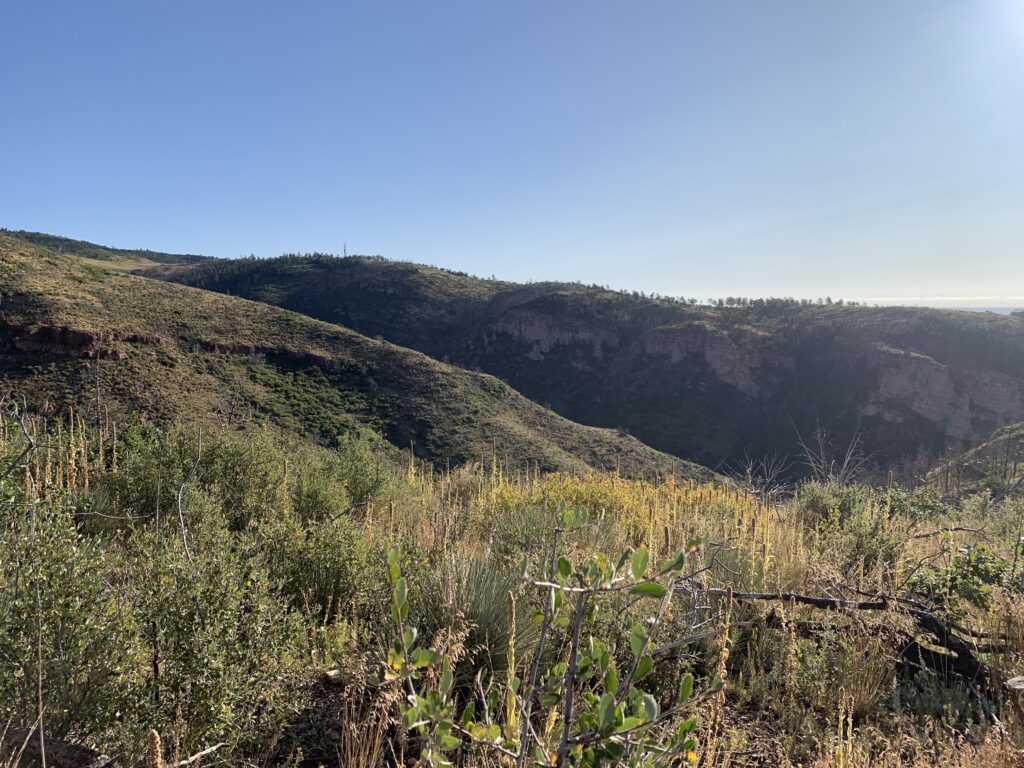
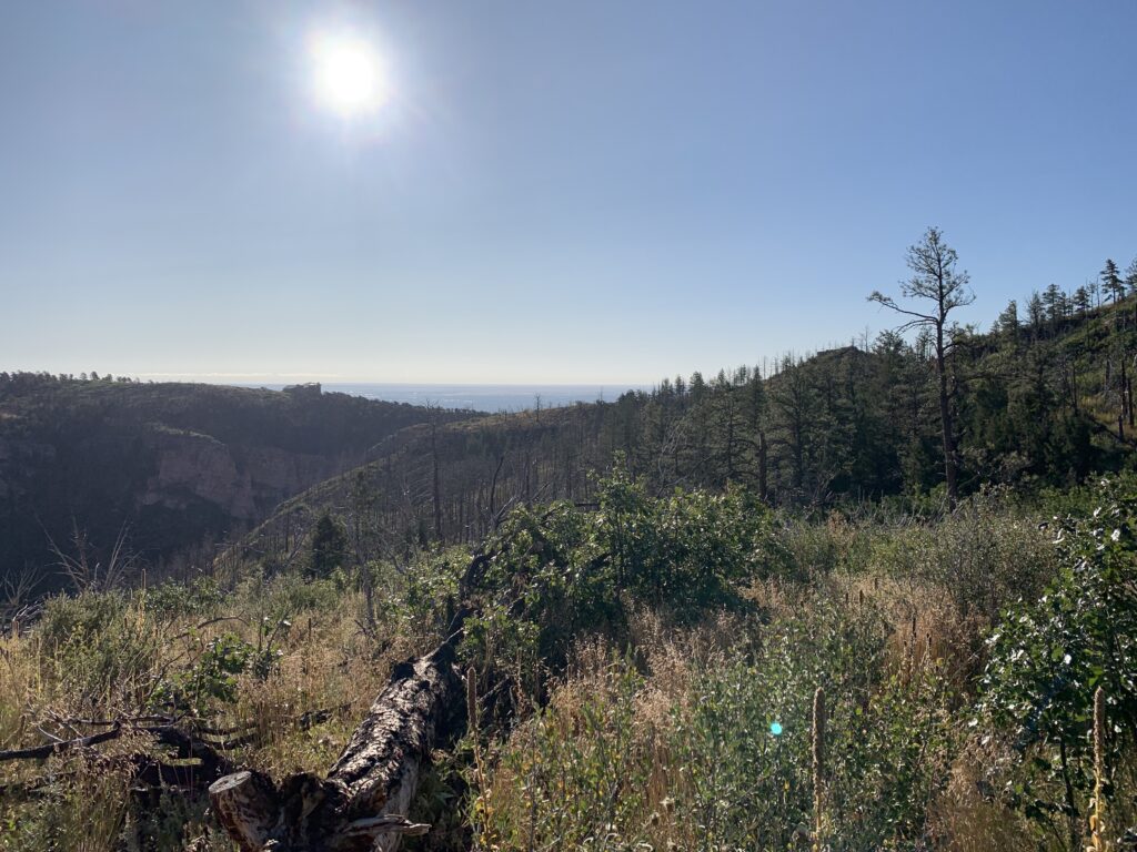
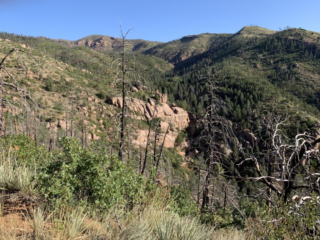
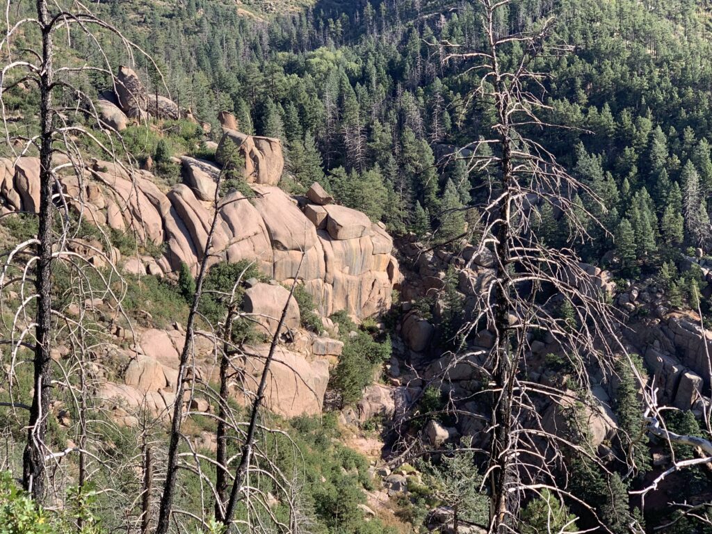
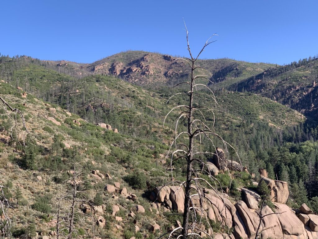
This trail starts with a little road ride. Head east from Memorial Park toward Garden of the Gods. You'll head in the back way toward Balanced Rock. When you get just past the rock look for the dirt road. This is Rampart Range Road. From here it is a little over a six mile climb to the turn. When you get to the driveway for the phone towers on your right, look to your left to find the very hidden trail. It is about 365 feet past this driveway according to Garmin. From there, hang onto your butt! It's a very loose, rocky, and steep downhill into Williams Canyon. Since they closed the firing range, at least you don't feel like you're in a war zone. Then again, since the Waldo Canyon fire, the trees are all gone, so it looks like a war zone. After almost a mile of your descent, you will cross a sandy wash. There are actually two, and this is the second one. You will pass a small utility shack just before you get there. From here you walk. It's very deep sand, and you have to hike a bike up some rock formations. If you think you're in a streambed you are. You will hike up about 1/3 of a mile until the stream splits and you see a short wall of rock in front of you. This is where things get rough. You will go left and have to do some concentrating to pick up the very overgrown trail.
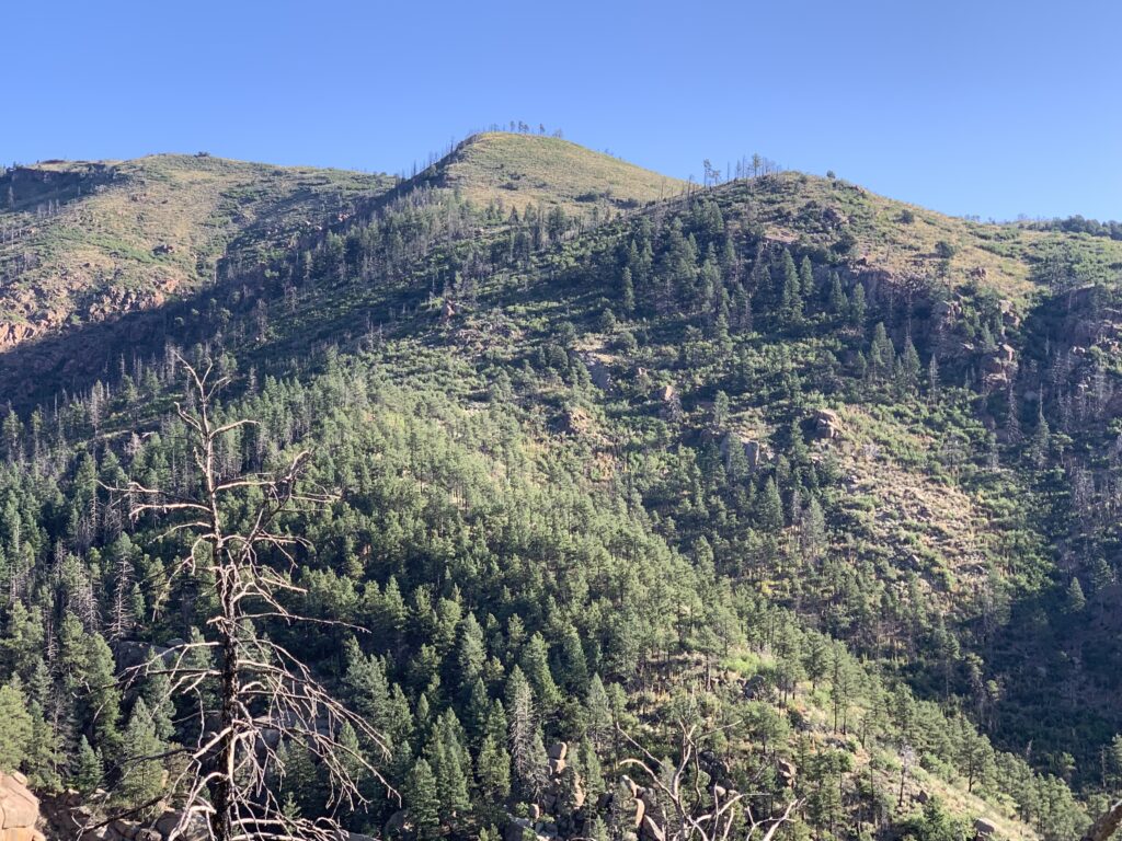
Before 2012 this used to be a very nice trail. It's very overgrown, but the ground is pretty solid when you get on the right track, so you will know it is a trail. This will take you into Waldo Canyon. Once there, you can go right or left, both routes will take you into Ute Canyon. However, this track shows the route left. It is also very overgrown and I mean VERY! However, again, if you pay attention it's easy to follow the trail.
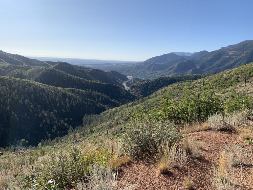
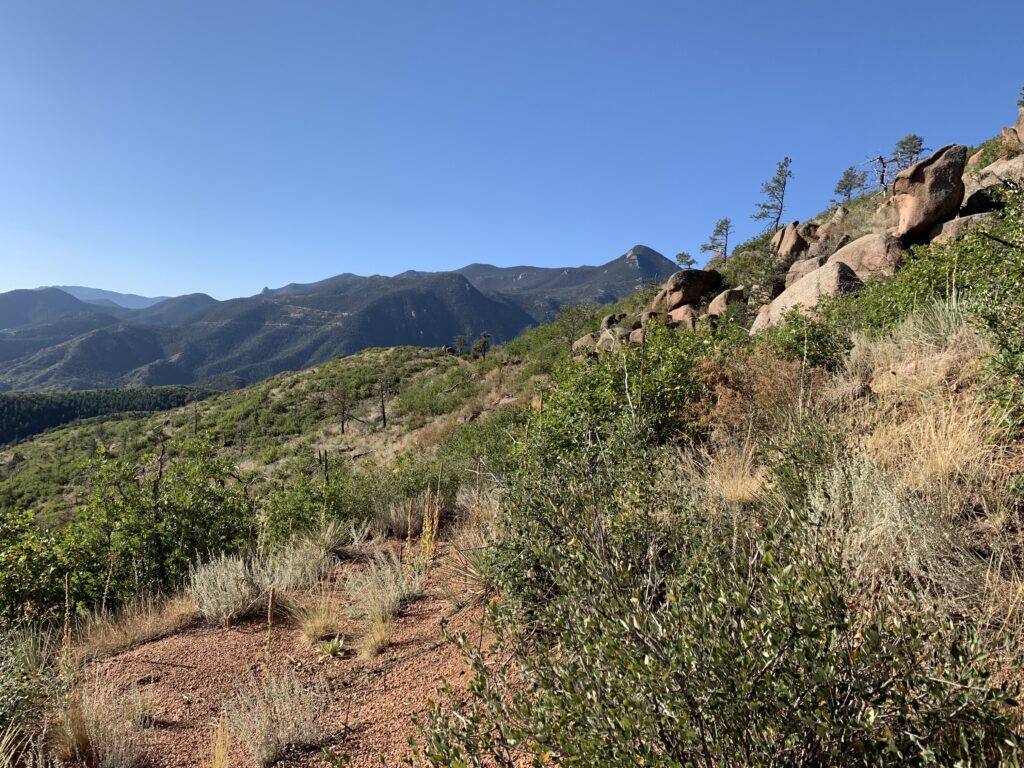
Once out of Waldo, you drop down onto HWY 24. Don't think that crossing here is safe. It's not. Cars will not stop for you. This is by far the most dangerous part of this route. However, once across, go under, over, or around the gate for Longs Ranch Road. There is a No Tresspassing sign, but someone from the utility company will have to tell me how they own Federal Land. Anyway, after a very steep and short climb and you will get to a fork. Stay left, and then go left again. This looks like a road, but it is actually Ute Pass Trail, and will take you back to Ruxton in Manitou Springs.
Take the rolling road back to the trail that starts to the right of the pumping station. Head down till you get to a T in the trail. Go right and follow the trail back to Ruxton. From here just follow the challenged drivers who will be on the road back to that little train which will be on your left and go back to Memorial Park. The entire route is 16 miles.
1. Radio Towers
2. Trailhead
3. Sandy Wash
4. Trail to Ute
5. Start
6. End
Rampart Williams Waldo Ute
I have been wanting to ride this route since the Waldo Canyon fire. This is definitely not for the faint of heart. Be prepared for whatever comes at you and remember…walking your bike is just part of the fun.
Getting There
- Take I-25 to HWY 24 in Colorado Springs
- Go west and head to Manitou Springs
- Park at Memorial Park (when you see the little incline train, go right…that’s the park).
Trail Description
This trail starts with a little road ride. Head east from Memorial Park toward Garden of the Gods. You’ll head in the back way toward Balanced Rock. When you get just past the rock look for the dirt road. This is Rampart Range Road. From here it is a little over a six mile climb to the turn. When you get to the driveway for the phone towers on your right, look to your left to find the very hidden trail. It is about 365 feet past this driveway according to Garmin. From there, hang onto your butt! It’s a very loose, rocky, and steep downhill into Williams Canyon. Since they closed the firing range, at least you don’t feel like you’re in a war zone. Then again, since the Waldo Canyon fire, the trees are all gone, so it looks like a war zone. After almost a mile of your descent, you will cross a sandy wash. There are actually two, and this is the second one. You will pass a small utility shack just before you get there. From here you walk. It’s very deep sand, and you have to hike a bike up some rock formations. If you think you’re in a streambed you are. You will hike up about 1/3 of a mile until the stream splits and you see a short wall of rock in front of you. This is where things get rough. You will go left and have to do some concentrating to pick up the very overgrown trail.
Before 2012 this used to be a very nice trail. It’s very overgrown, but the ground is pretty solid when you get on the right track, so you will know it is a trail. This will take you into Waldo Canyon. Once there, you can go right or left, both routes will take you into Ute Canyon. However, this track shows the route left. It is also very overgrown and I mean VERY! However, again, if you pay attention it’s easy to follow the trail.
Once out of Waldo, you drop down onto HWY 24. Don’t think that crossing here is safe. It’s not. Cars will not stop for you. This is by far the most dangerous part of this route. However, once across, go under, over, or around the gate for Longs Ranch Road. There is a No Tresspassing sign, but someone from the utility company will have to tell me how they own Federal Land. Anyway, after a very steep and short climb and you will get to a fork. Stay left, and then go left again. This looks like a road, but it is actually Ute Pass Trail, and will take you back to Ruxton in Manitou Springs.
Take the rolling road back to the trail that starts to the right of the pumping station. Head down till you get to a T in the trail. Go right and follow the trail back to Ruxton. From here just follow the challenged drivers who will be on the road back to that little train which will be on your left and go back to Memorial Park. The entire route is 16 miles.